NOAA Satellite CLI
The whole planet, from a satellite, on your hard drive, in one command
I wanted the freshest picture of Earth without opening a browser, so I built a CLI that pulls straight from NOAA's GOES-18 and GOES-19 geostationary satellites — the two live birds parked over the Pacific and the Atlantic — and drops the image into a local archive. You can grab the latest GEOCOLOR frame, or reach for the max: a full disk of Earth at 21696x21696, 470 megapixels. It handles GOES' Julian-day timestamps (that YYYYJJJHHMM format that isn't a normal date), MD5-hashes every capture so it never stores the same frame twice, and keeps a little JSON database tracking what it's pulled and when. Point cron at it and you've got an hourly archive of the sky building itself.
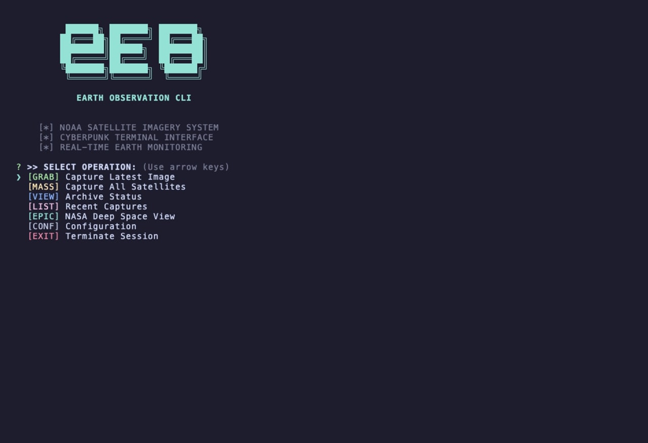
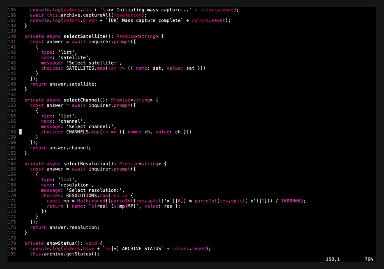
It'll also pull NASA's EPIC camera — the one on DSCOVR, sitting a million and a half kilometers out at the L1 Lagrange point looking back at the whole sunlit face of Earth — plus MODIS and VIIRS regional imagery for the US, Europe, Asia, Africa, Australia. There's a quick grab one-liner for when you just want the shot, and a full ASCII terminal menu when you want to pick the satellite, channel, and resolution yourself. No emoji, all cyan-and-magenta status lines, the whole 90s-terminal thing on purpose.